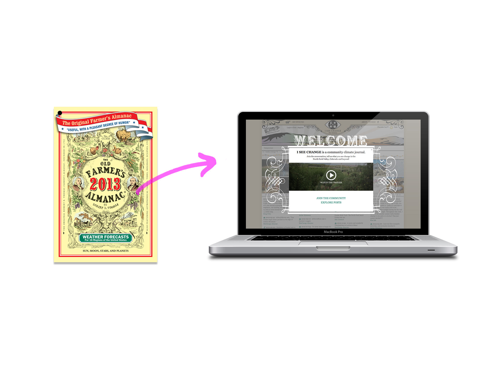
As a part my work with IseeChange- a community-powered climate and weather journal, I developed a creative process for igniting and facilitating neighborhood-level adaptation conversations. The 3 month long public information and art series thematically centered on flooding in New Orleans, LA with support from A Studio in the Woods and The Trust for Public Land.
“Climate resilience aren’t easy words to explain. Finding ways for this to feel tangible, up front, and build that base-level of understanding. There is also some real power in how that can inform project design.”
- City Resilience officer of New Orleans
- City Resilience officer of New Orleans
Discussing our community’s future and understanding our environment are critical aspects of protecting our homes. Too often, these conversations are handled by only few as civic participation can be inaccessible to a public without disposable time or confidence in their understanding of the topic. Additionally, the design process around infrastructure and environment often begins before the public is asked for input which leads to meetings where community members are reacting instead of participating in solution proposals.
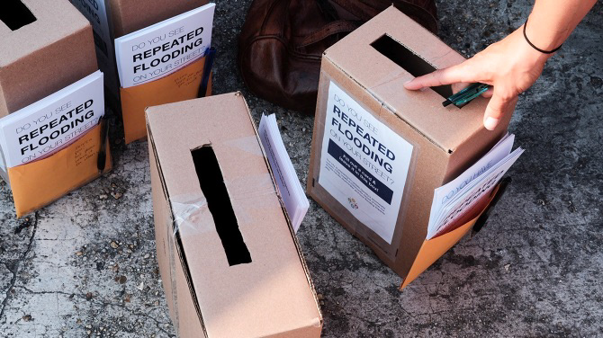
We wanted to flip this paradigm around by creating a community led, equitable conversation in New Orleans neighborhoods prone to flooding who are slated to receive funding and infrastructure updates. We began by asking the community where they’re experiencing flooding, how this flooding impacts their daily life and what they’d like to learn more about in regards to their environment and the civic process. A simple 4 question survey was placed in eye-catching, lo-fi “comment boxes” inside local businesses like laundromats, churches, nail salons and restaurants. Within two weeks, the community reported 150 flooding hotspots with impact feedback and requests for information.
Taking a lead from the responses, we then began to collect data, historical archives and interviews to answer the community’s questions about upcoming neighborhood projects, the history of the local land and how current flooding was impacting their community.
We then worked with a local business owner and resident to curate our collection of data, photos and audio down to a cohesive and digestible amount. This curation was then exhibited at a neighborhood block party hosted where neighbors could review and discuss information about their neighborhood’s past, present and future.
Additionally, we participated in physical installations of flooding data for a neighborhood bike tour and we hosted storytelling event where residents could speak about recent flooding alongside civic workers and planners. Both events provided an equal platform for all perspectives and a friendly space for conversations amongst residents, leaders and planners.
Residents who participated with us commented on learning new information about their environment, having a better understanding of their risk level and feeling confident to speak about topics with others. Civic leaders, planners and scientists appreciated access to granular flooding data and stories as well as the ability to have continued conversations with residents that evolved with understanding and respect.
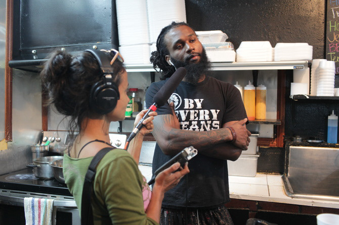
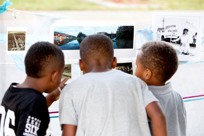
Exhibit Audio used alongside maps, photos and data
New Resident
Long Time Resident
Water Architect
Community Leaders
Press on the project:
Pelican Bomb
Urban Resilience Project
New Resident
Long Time Resident
Water Architect
Community Leaders
Press on the project:
Pelican Bomb
Urban Resilience Project